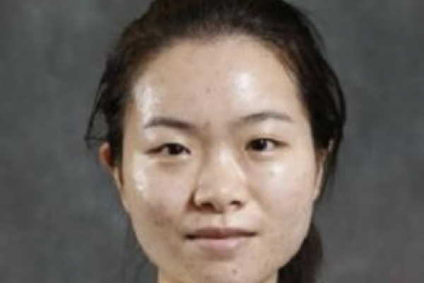
Huijun Chen: First Prize at IEEE

The 2020 Data Fusion Contest, organized by the Image Analysis and Data Fusion Technical Committee (IADF TC) of the IEEE Geoscience and Remote Sensing Society (GRSS) and the Technical University of Munich, was opened on December 13, 2019. The 2020 Data Fusion Contest aimed to promote research in large-scale land cover mapping from globally available multimodal satellite data. The task was to train a machine learning model for global land cover mapping based on weakly annotated samples. The Contest consisted of two challenge tracks: Track 1: Land cover classification with low-resolution labels, and Track 2: Land cover classification with low- and high-resolution labels.
The final result is available at http://www.grss-ieee.org/community/technical-committees/data-fusion/2020-ieee-grss-data-fusion-contest-results/.
The team is supervised by Dr. Rongjun Qin and the group members include Huijun Chen, Changlin Xiao, Wei Liu. The team won the 1st place in track 2 and 4th place in track 1.
For more information, you can check the following websites:
The 2020 Data Fusion Contest:
Past Data Fusion Contest (this is a yearly contest in remote sensing field):
http://www.grss-ieee.org/community/technical-committees/data-fusion/
The organizer of the contest:
http://www.grss-ieee.org/community/technical-committees/data-fusion/
Dr. Rongjun Qin:
